

Technical Support That Goes Beyond Expectations
Beyond traditional construction surveying, PG Arpentage stands out through a comprehensive range of specialized services that reflect our commitment to innovation and excellence. We deploy advanced technological solutions to optimize your projects, eliminate surprises, and give you total control over every phase of execution.
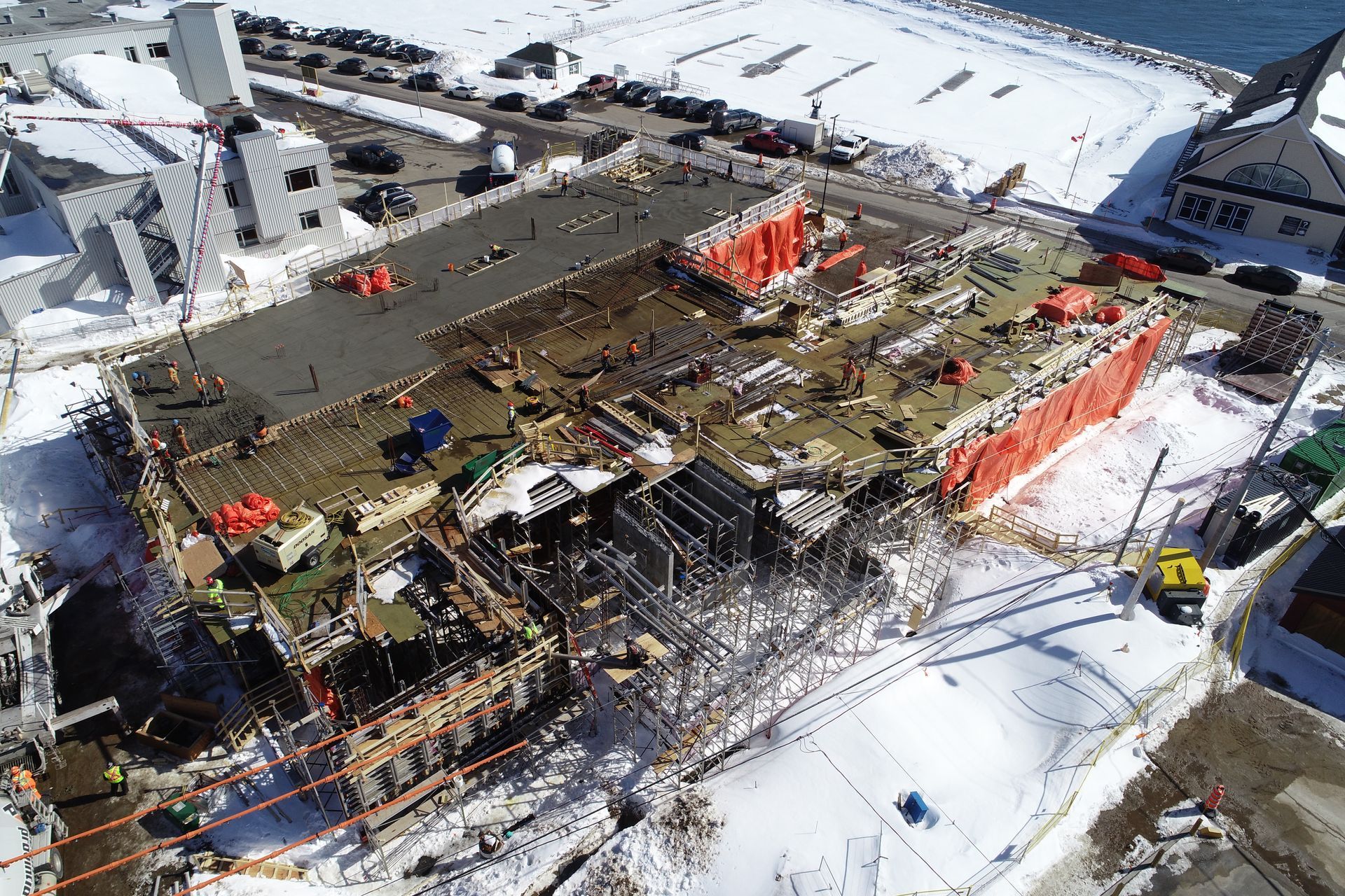
Maximize the efficiency of your job site.
Remote Machinery Guidance
Our specialized technicians program and operate your heavy equipment remotely to carry out work with millimetre-level precision. This automated control eliminates approximation, reduces human error, and accelerates execution while maintaining high quality standards.
Machine guidance optimizes the output of your excavators, graders, and other machinery, guaranteeing that every pass exactly respects the elevations and slopes specified in the plans. This technology also reduces multiple passes, saves fuel, and improves safety by limiting operator exposure.
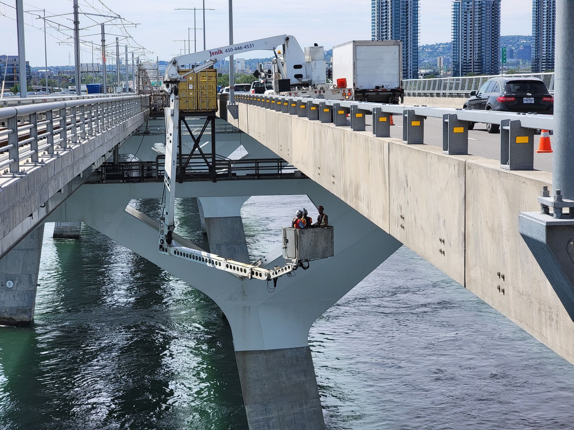
Movement Monitoring
The stability of your structures and soils requires continuous monitoring to prevent risks and ensure safety. We install high-precision sensors on your works that automatically measure any displacement or deformation, no matter how slight.
This monitoring system operates 24 hours a day, 7 days a week, 365 days a year, transmitting data in real time for immediate analysis. Any abnormal variation triggers alerts, allowing you to intervene quickly before a problem becomes critical.

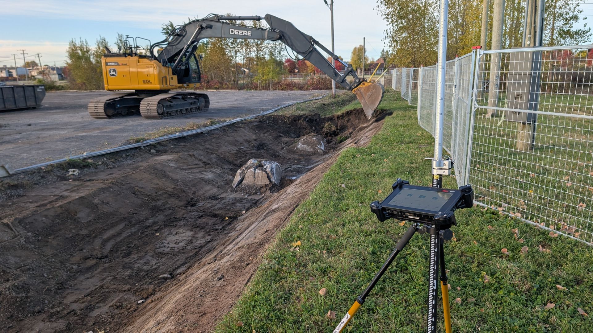
Robotic Layout
Precise layout of your works is a key step in ensuring compliance and the success of your projects. Using high-precision robotic stations, our technicians lay out axes, alignments, limits, foundations, and infrastructure in the field exactly according to engineering and architectural plans.
Robotic layout enables fast, reliable, and reproducible placement, significantly reducing the risk of errors and rework during construction. This technology improves team coordination, accelerates work progress, and contributes to compliance with schedules and budgets, all while maintaining high quality standards.
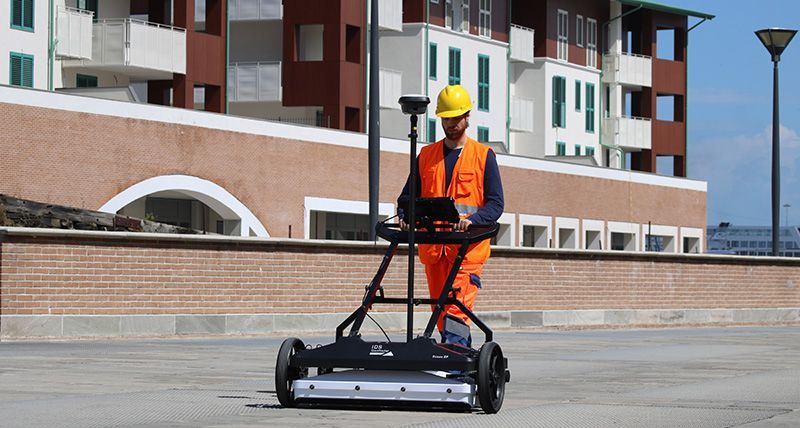
High-Performance Multichannel Ground-Penetrating Radar
The Stream DP, our advanced ground-penetrating radar system, detects and maps underground infrastructure in 3D with unmatched depth and resolution. This multichannel technology makes it possible to precisely locate pipes, cables, and buried utilities, eliminating the risk of costly damage during excavation.
A single pass captures the entire underground network for safe and efficient planning of your work.
Our Tools
To guarantee impeccable results, we work with a complete, state-of-the-art equipment fleet. Every tool is chosen and used to maximize the efficiency and reliability of our interventions.
GPS
Total Station
Level
Laser tracker system
3D scanner
Drones
HP SitePrint robotic layout solution
Multichannel ground-penetrating radar system (GPR)