

Contact Us
Thank you for contacting us. We will get back to you as soon as possible.
Oops, an error occurred while sending your message. Please try again later.
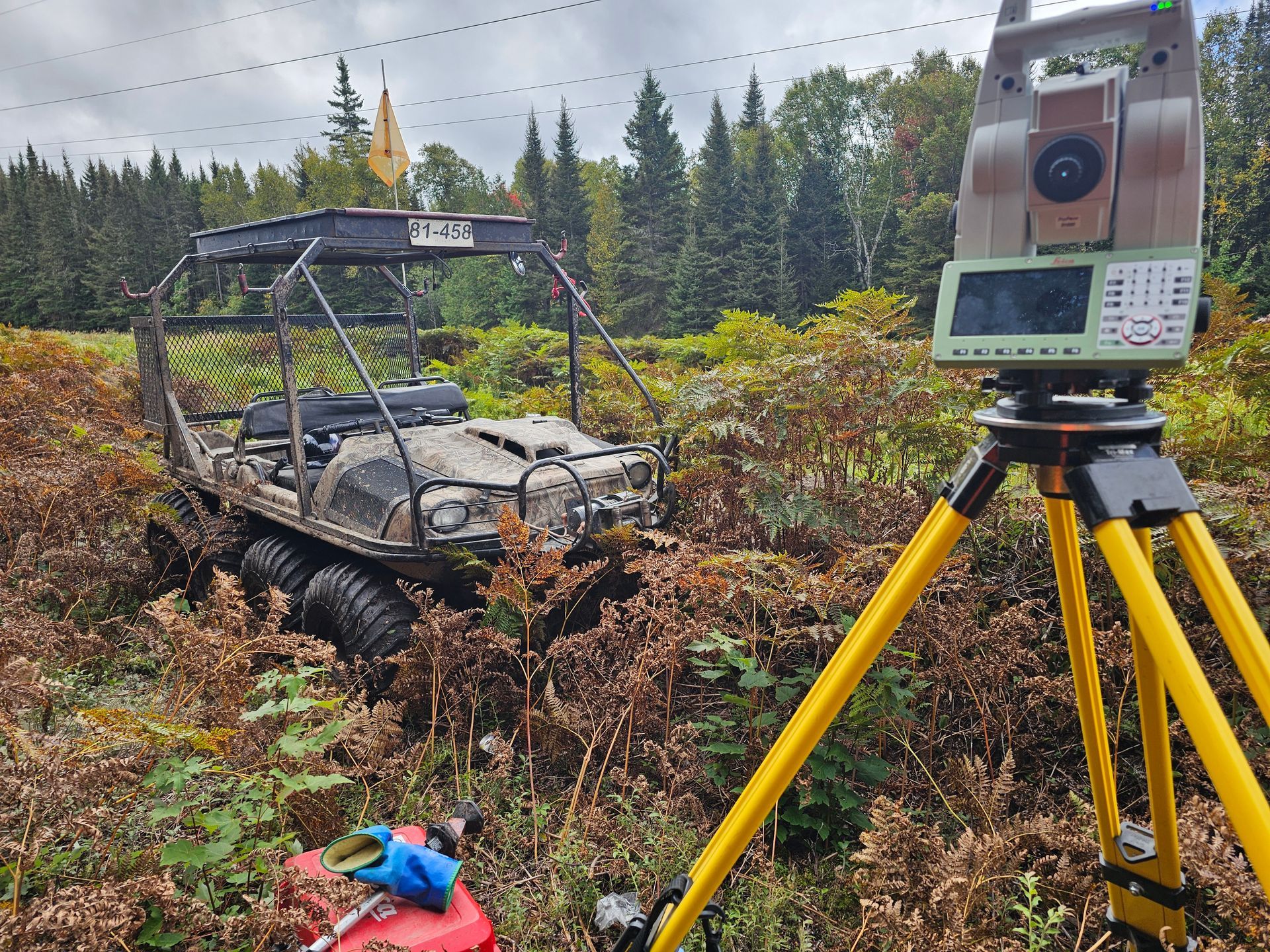
Laval's site plan review process can be demanding, and imprecise boundary or elevation data can delay a project before it even reaches a permit officer. At PG Arpentage, we combine GPS, total stations, and LiDAR-equipped drones to deliver survey data precise enough to support the city's zoning and wetland review process. Our construction surveying in Laval
service covers everything from initial topographic data to final as-built verification, giving your project team one point of contact from site visit to closeout.
Start your Laval project with confidence
What Survey Work Do You Need Before Building in Laval?
Before a shovel touches the ground in Chomedey, Vimont, Duvernay, or Sainte-Rose, most files need accurate boundary staking, elevation data, and a site plan that matches the city's current zoning maps. Our teams start every mandate with a detailed topographic survey Quebec
that reviewers can cross-check against current zoning maps, which helps reduce back-and-forth during the technical assessment. This groundwork is what construction surveying in Laval
is really about, and it connects directly to our full range of construction surveying services across Quebec, supporting projects from the first site visit through final layout.
Laval's wetland protection bylaw shields high-value wetlands across the city, and any project near a protected area must confirm exact setback distances before design work can proceed. We pair a site layout and grading survey
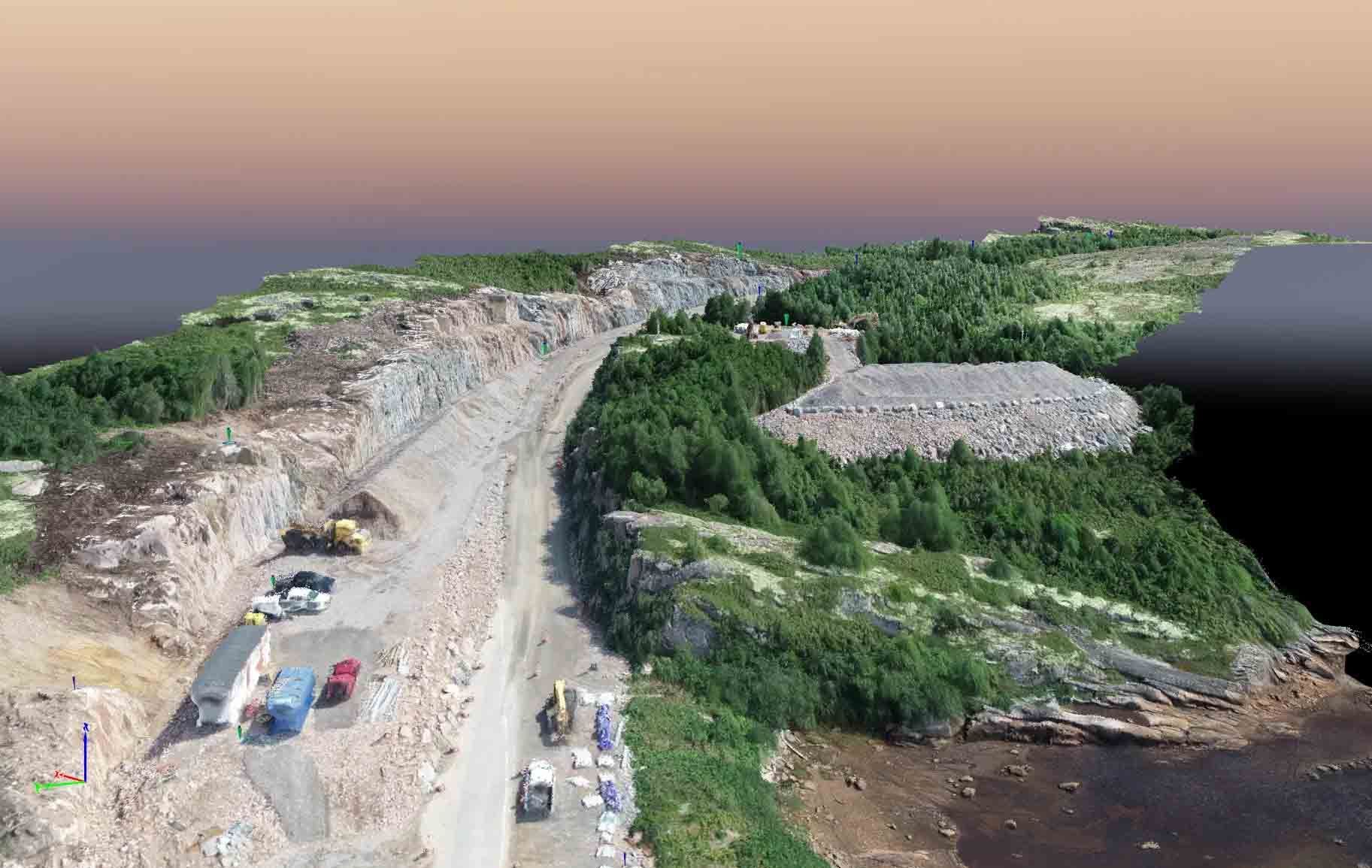
with LiDAR-equipped drones and georadar scans to map wetland boundaries, existing grades, and underground utilities in a single site visit. This is where construction surveying in Laval
becomes essential, since a single misread setback line can force a redesign, and our drone and 3D scanning services for site surveys
give reviewers the precision they expect.
How Does Laval's Wetland and Zoning Code Affect Your Survey Requirements?
How Do We Keep Large Construction Projects on Track in Laval?
As housing starts and mixed-use developments climb across Laval, larger sites need more than a single survey at the start of construction. Our land surveying services in Laval
include continuous monitoring and movement tracking, so foundations, retaining walls, and adjacent structures stay within tolerance throughout the build. This ongoing oversight is a core part of construction surveying in Laval, and the same monitoring approach supports our construction surveying services in Montreal
on comparably large projects.
Talk to our survey team about your Laval site
Construction Surveying Laval: Our Core Site Services
A well-run site depends on a defined set of tools and repeatable workflows that keep every measurement traceable from first stake to final as-built. Here is what our teams bring to a typical mandate:
Total station layout : We set precise reference points for foundations, retaining walls, and structural grids before framing crews mobilize.
GPS control networks : Our crews establish site-wide coordinate control that keeps every subsequent measurement consistent across large or phased developments.
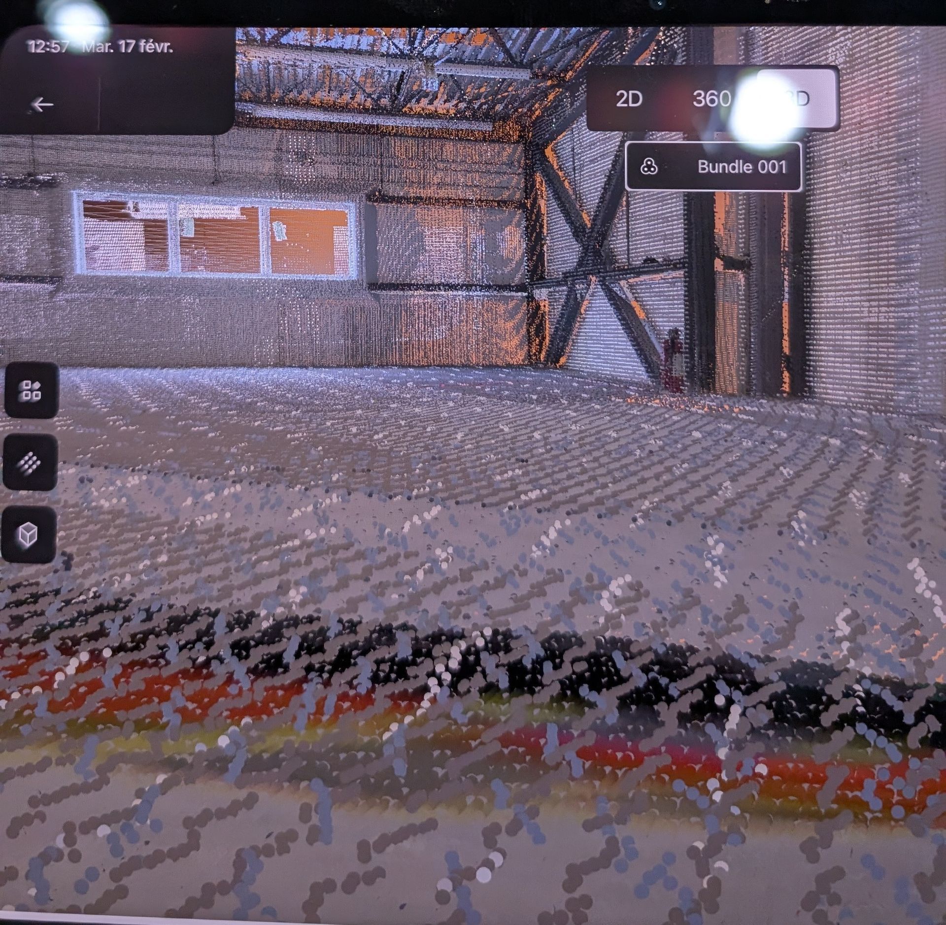
3D laser scanning : We capture dense point clouds of existing conditions, which speeds up design coordination on retrofit and infill projects.
Ground-penetrating radar : Georadar scans locate buried utilities and underground obstructions before excavation begins, reducing the risk of costly strikes.
Robotic layout with HP SitePrint : This system transfers digital plans directly to the ground with millimeter accuracy, cutting layout time on repetitive slab and wall patterns.
Total station layout : We set precise reference points for foundations, retaining walls, and structural grids before framing crews mobilize.
GPS control networks : Our crews establish site-wide coordinate control that keeps every subsequent measurement consistent across large or phased developments.
3D laser scanning : We capture dense point clouds of existing conditions, which speeds up design coordination on retrofit and infill projects.
Ground-penetrating radar : Georadar scans locate buried utilities and underground obstructions before excavation begins, reducing the risk of costly strikes.
Robotic layout with HP SitePrint : This system transfers digital plans directly to the ground with millimeter accuracy, cutting layout time on repetitive slab and wall patterns.
What Would Move Your Site Forward Fastest?
Every mandate we take on in Laval draws on more than fifty years of combined field experience across civil, industrial, and municipal projects. We built our construction surveying in Laval
practice around one goal: giving project managers data they can act on without second-guessing it. See how these methods perform on larger builds through our completed projects across Canada.
Get your Laval site measured right the first time
