

Every Project Depends on Reliable Data — We Ensure Its Accuracy
PG Arpentage offers comprehensive technical calculation services designed to effectively support surveying and geomatics work. These services represent an essential step in ensuring the accuracy, consistency, and compliance of the data used throughout a project.
Using rigorous methods and a thorough command of standards and regulatory requirements, our team performs precise calculations to validate, analyze, and transform data collected in the field. Whether it involves verifications, complex analyses, or specialized processing, every mandate is carried out with attention to detail and reliability.
By engaging PG Arpentage's technical calculation services, you benefit from professional support that helps reduce the risk of errors, optimize decision-making, and ensure the smooth progress of your projects from start to completion.
Have a project in mind? Our calculation experts are ready to support you.
Back your decisions with reliable, precise calculations.
Tender Calculations and Project Estimates
PG Arpentage offers a rigorous tender calculation service to support the preparation of accurate estimates for your projects. Drawing from available plans, specifications, and data, we analyze the quantities and technical parameters needed to produce reliable foundations that support realistic, competitive, and well-structured bids.
Audit
PG Arpentage offers calculation audit services designed to verify the accuracy, compliance, and consistency of data, plans, and completed work. Our audits identify discrepancies, validate adherence to applicable standards and regulations, and ensure the reliability of the information used for decision-making and project continuation.
“As-Built” Reports
Detailed documentation of completed works, ensuring full compliance with plans and standards. Every survey is processed, verified, and presented in clear technical reports that facilitate approvals, long-term asset management, and dispute prevention. Our deliverables meet the most demanding industry standards.
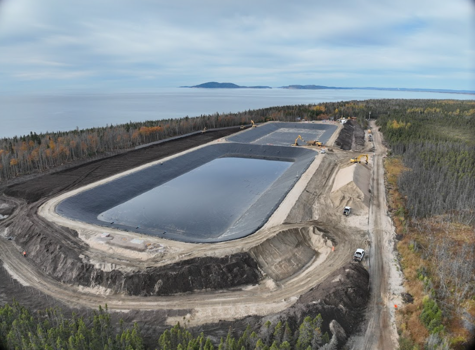
Volume and Quantity Calculations
Precise estimation of required materials, enabling you to forecast needs, optimize resources, and reduce waste. Our calculations rely on rigorous field surveys, reliable digital models, and thorough analysis to provide you with exact figures that will guide your budgetary decisions.
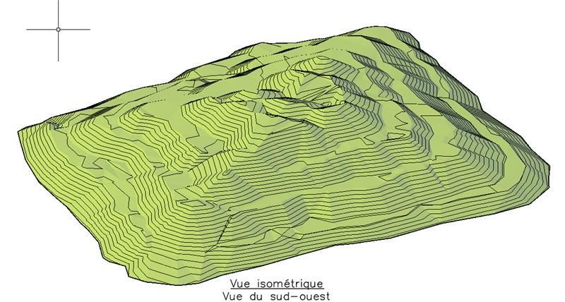
Volumetrics
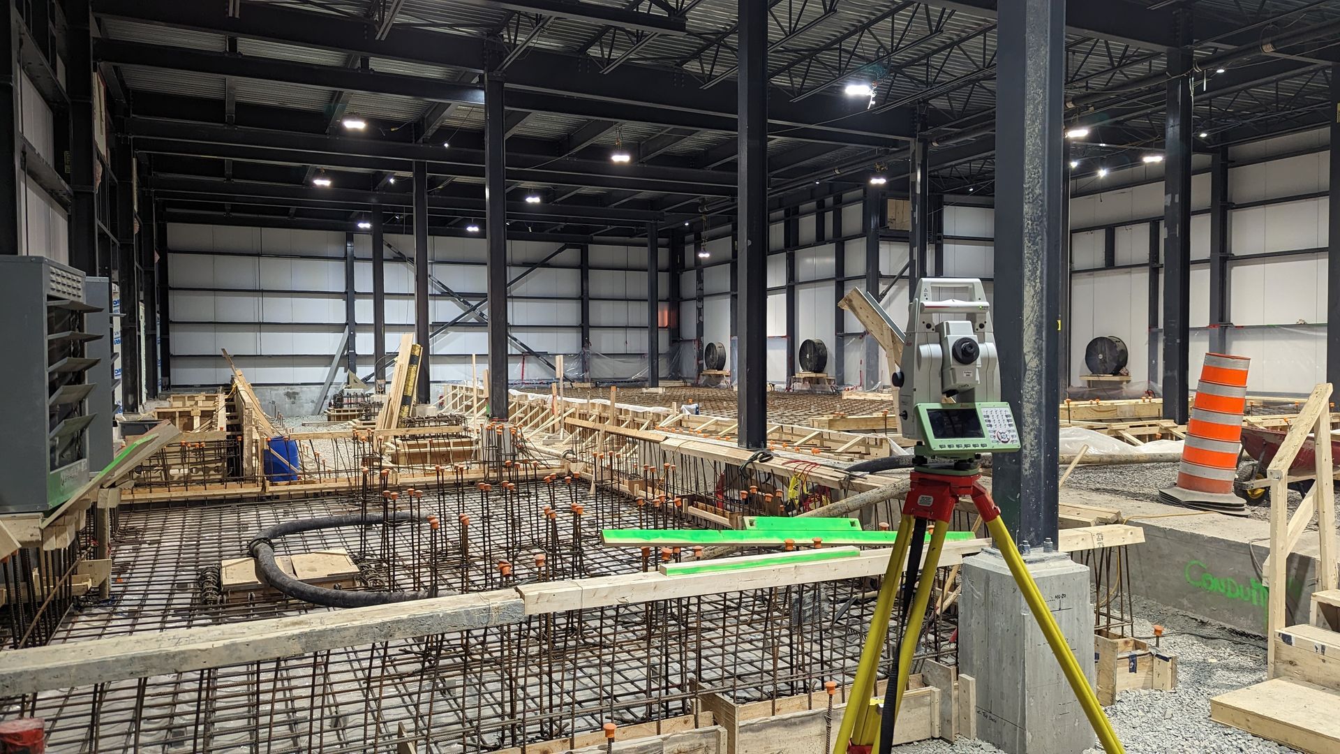
Three-dimensional measurement of volumes of material to be extracted, displaced, or added, for rigorous control of costs and timelines. Using our drones, 3D scanners, GPS systems, and specialized software, we deliver detailed, verifiable volumetric reports that meet the strictest project management requirements.
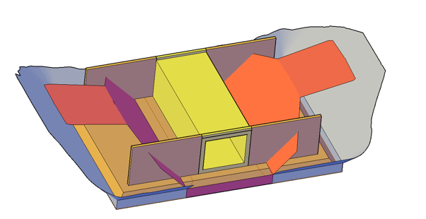
3D Modelling
Creation of detailed digital models of terrain and structures, facilitating visualization, optimization, and project planning.
Our 3D models integrate data from laser scanning, drones, GPS surveys, and photogrammetry to provide a complete, usable representation of your job site. These models make it possible to anticipate constraints, validate technical solutions, and communicate effectively with all stakeholders.

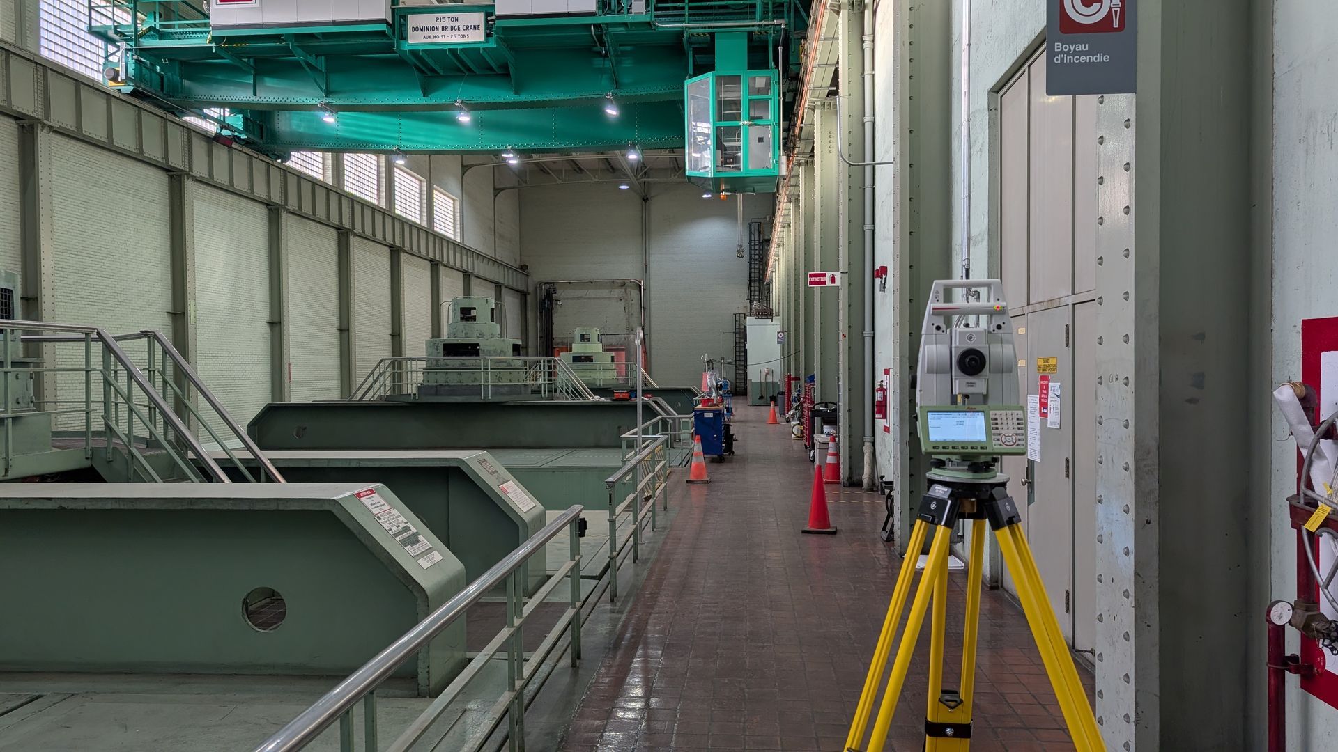
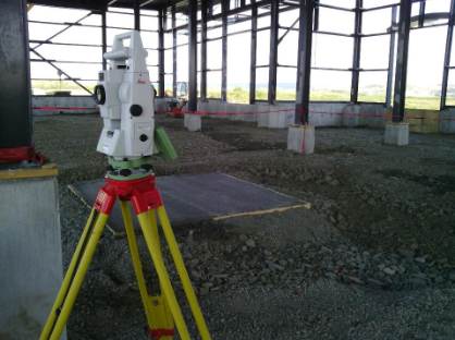
Topographic Data Analysis
Processing and interpretation of surveys to provide reliable information that will guide technical decisions.
Our team analyzes every data point with rigour, identifies potential issues, and proposes solutions tailored to your operational reality, ensuring a solid foundation for the design and execution of your projects.
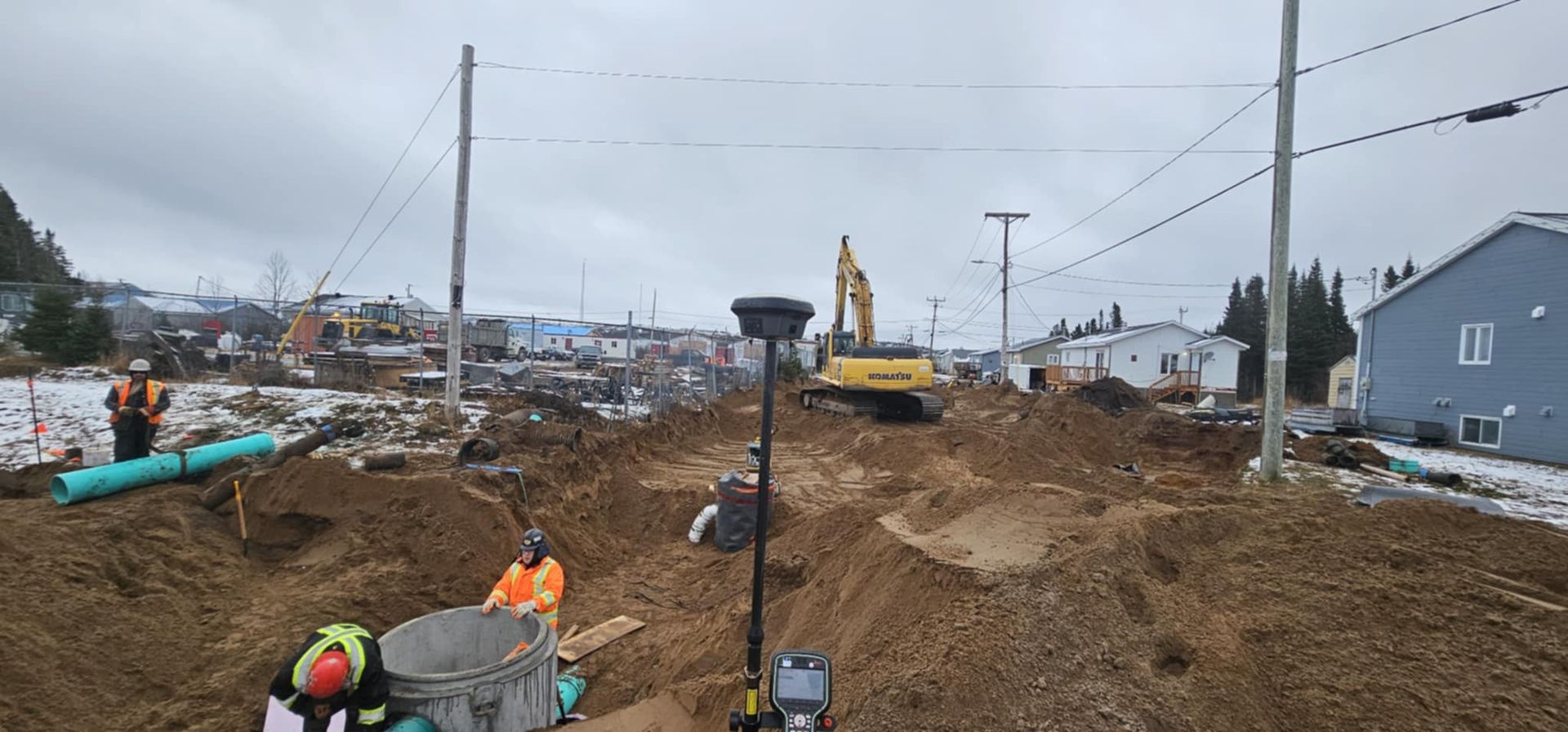
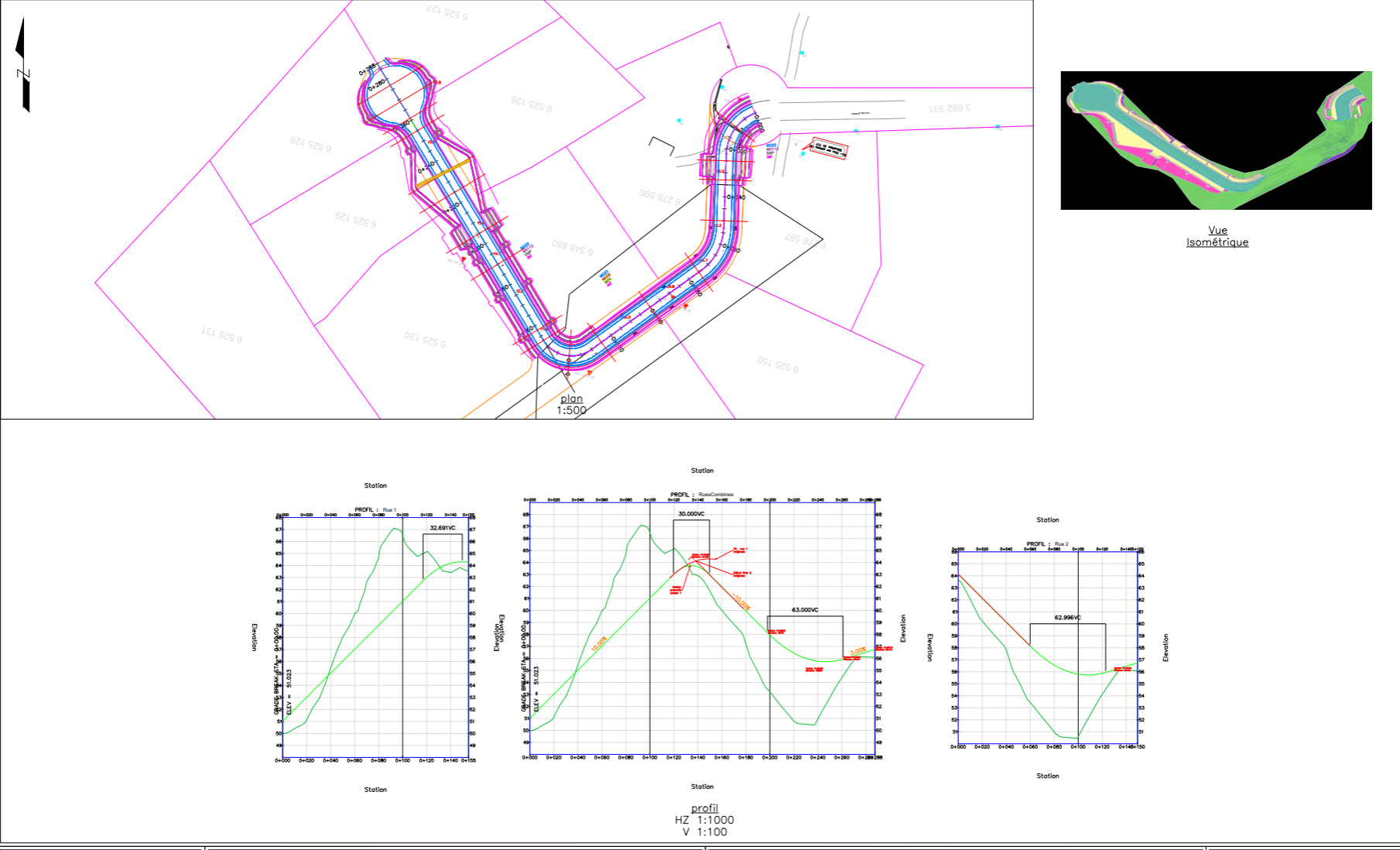
Road Geometry
We survey, model, and calculate the data needed to ensure a perfect alignment that conforms to plans.
Our road geometry expertise combines the use of GPS, total stations, precision levels, and advanced design software to guarantee precise layout of axes, profiles, cross-slopes, and curbs at every phase of the project. From initial design through to final inspection, we support your road projects with unquestionable technical mastery.
Technical Drawings
Our multidisciplinary team produces precise technical drawings adapted to the complex realities of your projects. Whether it involves translating field surveys into usable plans, creating detailed cross-sections, generating elevations, or preparing documents that comply with MTQ standards or other standards, we combine creativity with technical rigour.
We know how to adapt quickly to unforeseen challenges and find intelligent solutions to deliver the documents you need, in the required formats and according to your timelines.